 Catálogo Nacional de Metadatos
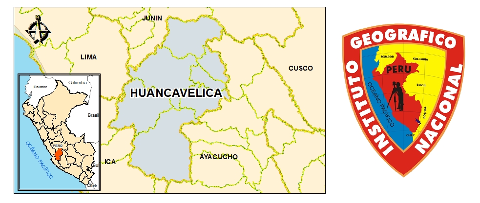
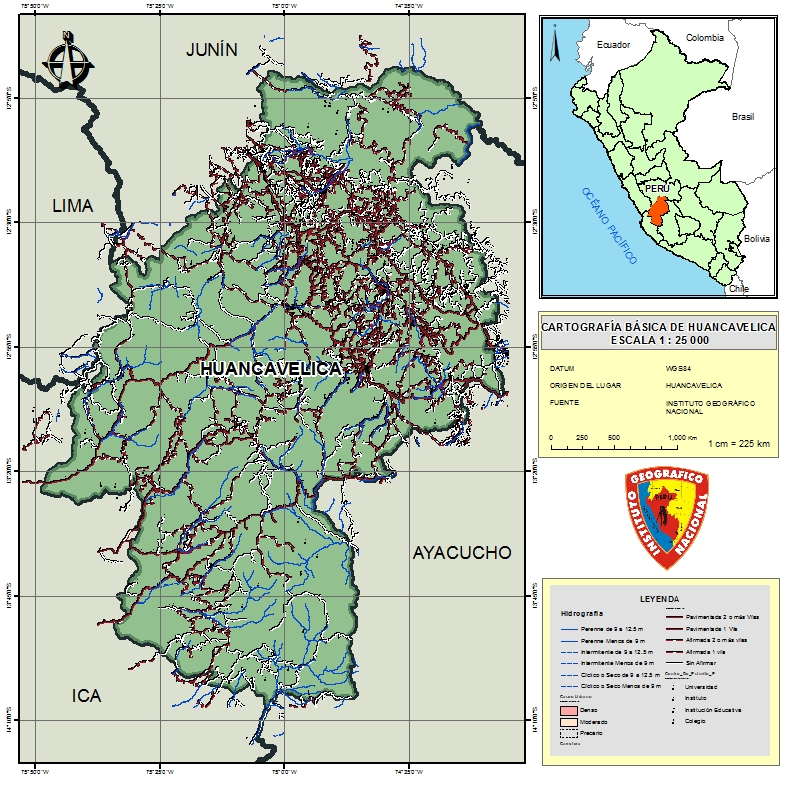
HUANCAVELICA Escala 1 : 25 000
El Departamento de Huancavelica fue Cartografiado a la escala 1:25 000 . Brindando información objetiva en TLM (topology Lineal Map) y también información vectorial ; Fisiografía, Cultura, Vías de Transporte, Vegetación,etc.
Simple
- Date (Publication)
- 2020-01
- Citation identifier
- http://localhost:8080/geonetwork/srv/resources967f6442-ad44-44a9-ad14-bfe87d4d4f7b
- Purpose
-
Brindar información Cartográfica
- Status
- Completed
- Point of contact
-
Organisation name Individual name Electronic mail address Role Instituto Geográfico Nacional
IGN
Originator
- Maintenance and update frequency
- As needed
- Theme
-
-
HUANCAVELICA ESCALA 1 : 25 000
-
HUANCAVELICA 25k
-
HUANCAVELICA
-
1 : 25 000
-
- Theme
-
-
WMS
-
- Access constraints
- Copyright
- Use constraints
- otherRestictions
- Spatial representation type
- Vector
- Denominator
- 25000
- Language
-
spa
- Character set
- UTF8
- Begin date
- 2013-01-02
- End date
- 2017-11-01
N
S
E
W
))
- Supplemental Information
-
HUANCAVELICA 1 : 25 000
- Reference system identifier
- WGS 1984
- Number of dimensions
- 3
- Dimension name
- Row
- Dimension size
- 25000
- Dimension name
- Column
- Dimension size
- 25000
- Dimension name
- Vertical
- Dimension size
- 25000
- Cell geometry
- Area
- Transformation parameter availability
- Yes
- OnLine resource
-
Protocol Linkage Name null
https://www.idep.gob.pe/geoportal/rest/services/DATOS_GEOESPACIALES/PERU_25K/MapServer/84 ENLACE
null
LAYER
- Hierarchy level
- Dataset
- Statement
-
Cartografía Escala 1 : 25 000
Metadata
- File identifier
- c9c01ff8-29b0-435e-880d-1e2fe3c00318 XML
- Metadata language
- Spanish; Castilian
- Character set
- UTF8
- Date stamp
- 2021-04-26T14:01:19
- Metadata standard name
-
ISO 19115:2003/19139
- Metadata standard version
-
1.0
- Metadata author
-
Organisation name Individual name Electronic mail address Role Centro de Infraestructura de Datos Geoespaciales
Publisher