 Catálogo Nacional de Metadatos
PIURA 1 : 25 000
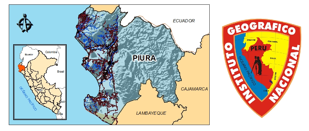
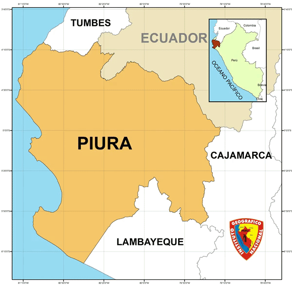
Piura fue Cartografiado a la escala 1:25 000 . Brindando información objetiva en TLM (topology Lineal Map) y también información vectorial ; Fisiografía, Cultura, Vías de Transporte, Vegetación,etc.
Simple
- Date (Publication)
- 2018-05-28T10:10:00
- Edition
-
IGN
- Purpose
-
INFORMATIVO
- Status
- Completed
- Point of contact
-
Organisation name Individual name Electronic mail address Role INSTITUTO GEOGRÁFICO NACIONAL
IGN
Originator
- Maintenance and update frequency
- As needed
- Theme
-
-
PIURA ESCALA 1 : 25 000
-
WMS
-
PIURA
-
1 : 25 000
-
- Place
-
-
PIURA 25K
-
- Access constraints
- Copyright
- Use constraints
- otherRestictions
- Other constraints
-
NOTHING
- Spatial representation type
- Vector
- Denominator
- 25000
- Language
-
spa
- Character set
- UTF8
- Topic category
-
- Boundaries
- Begin date
- 2017-01-04
- End date
- 2017-07-27
N
S
E
W
))
- Supplemental Information
-
PIURA DATOS FUNDAMENTALES
- Reference system identifier
- WGS 1984
- Distribution format
-
Name Version Instituto Geográfico Nacional
IGN
- OnLine resource
-
Protocol Linkage Name WWW:LINK-1.0-http--link
https://www.idep.gob.pe/geoportal/rest/services/DATOS_GEOESPACIALES/PERU_25K/MapServer/371 ENLACE
- Hierarchy level
- Dataset
- Statement
-
VECTOR
Metadata
- File identifier
- 821feaea-b5ca-4e9e-9a46-1d6b7a9bcd82 XML
- Metadata language
- Spanish; Castilian
- Character set
- UTF8
- Date stamp
- 2021-10-26T15:40:39
- Metadata standard name
-
ISO 19115:2003/19139
- Metadata standard version
-
1.0
- Metadata author
-
Organisation name Individual name Electronic mail address Role Centro de Infraestructura de Datos Geoespaciales
Publisher
Overviews
Piura Escala 1 / 25 000
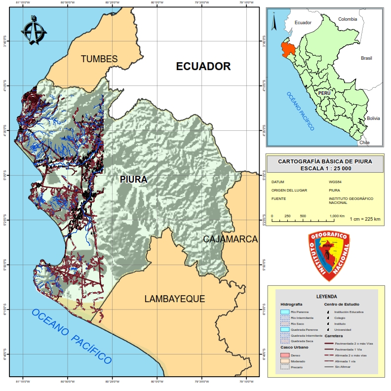
Mapa base cartográfico de Piura escala 1 : 25 000
PIURA ESCALA 1:25 000
Spatial extent
N
S
E
W
Provided by