 Catálogo Nacional de Metadatos
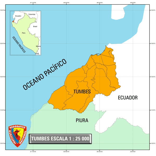
TUMBES 1:25 000
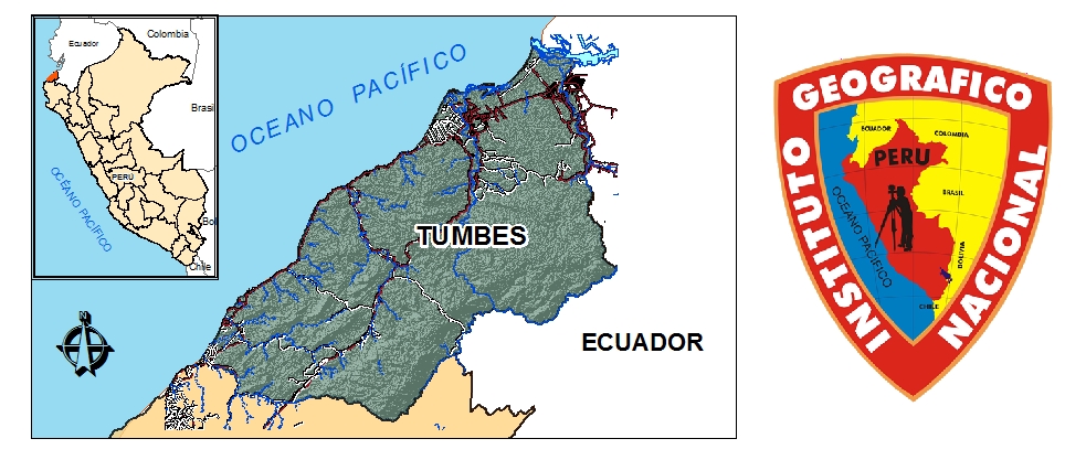
Mapa de la cartografía básica del departamento de Tumbes del Perú a escala 1:25 000 que contiene Información visual de vectores clasificados por Capas; estos vectores son: Transporte y Comunicaciones, Cultural, Hidrografìa y Fisiografìa.
Simple
- Date (Publication)
- 2018-02-17T16:07:00
- Edition
-
1.0
- Purpose
-
Informativo
- Status
- Completed
- Point of contact
-
Organisation name Individual name Electronic mail address Role Instituto Geográfico Nacional
IGN
Originator
- Maintenance and update frequency
- As needed
- Theme
-
-
TUMBES 1:25 000
-
WMS
-
TUMBES
-
- Access constraints
- Copyright
- Use constraints
- Restricted
- Other constraints
-
Nothing
- Spatial representation type
- Vector
- Denominator
- 25000
- Language
-
spa
- Character set
- UTF8
- Topic category
-
- Boundaries
- Begin date
- 2016-10-01
- End date
- 2016-12-31
N
S
E
W
))
- Supplemental Information
-
WMS
- Reference system identifier
- WGS 1984
- OnLine resource
-
Protocol Linkage Name WWW:LINK-1.0-http--link
https://www.idep.gob.pe/geoportal/rest/services/DATOS_GEOESPACIALES/PERU_25K/MapServer/576 ENLACE
WWW:LINK-1.0-http--link
htttps://WWW.IDEP.GOB.PE/URL/GEONETWORK/TUMBES_25K.PDF Mapa Tumbes Escala 1 : 25 000
- Hierarchy level
- Dataset
- Statement
-
WMS
Metadata
- File identifier
- 78917653-5e5f-4981-93a1-0a1793be34a0 XML
- Metadata language
- Spanish; Castilian
- Character set
- UTF8
- Date stamp
- 2021-04-26T14:25:29
- Metadata standard name
-
ISO 19115:2003/19139
- Metadata standard version
-
1.0
- Metadata author
-
Organisation name Individual name Electronic mail address Role Centro de Infraestructura de Datos Geoespaciales
Publisher
Overviews
Tumbes Escala 1 / 25 000
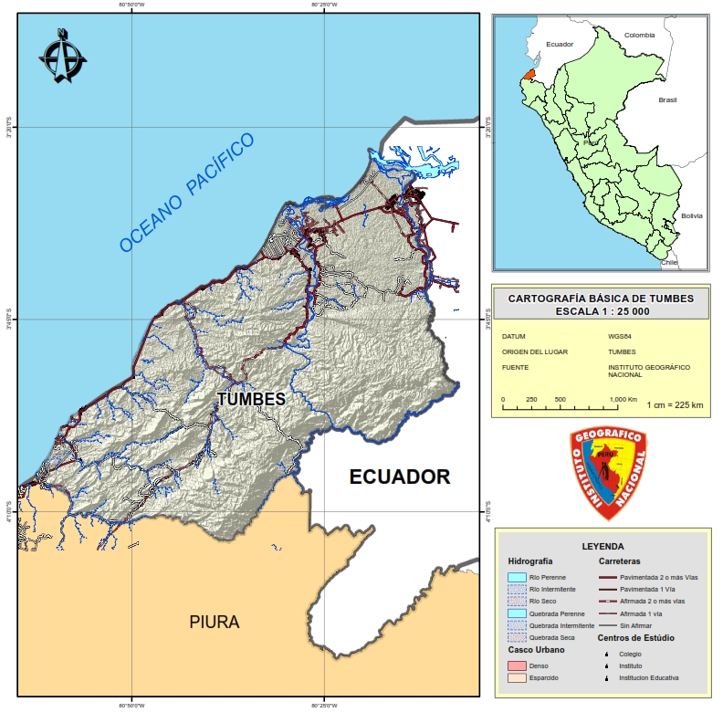
Mapa base cartográfico d Tumbes escala 1 : 25 000
Tumbes Escala 1:25 000
Spatial extent
N
S
E
W
Provided by