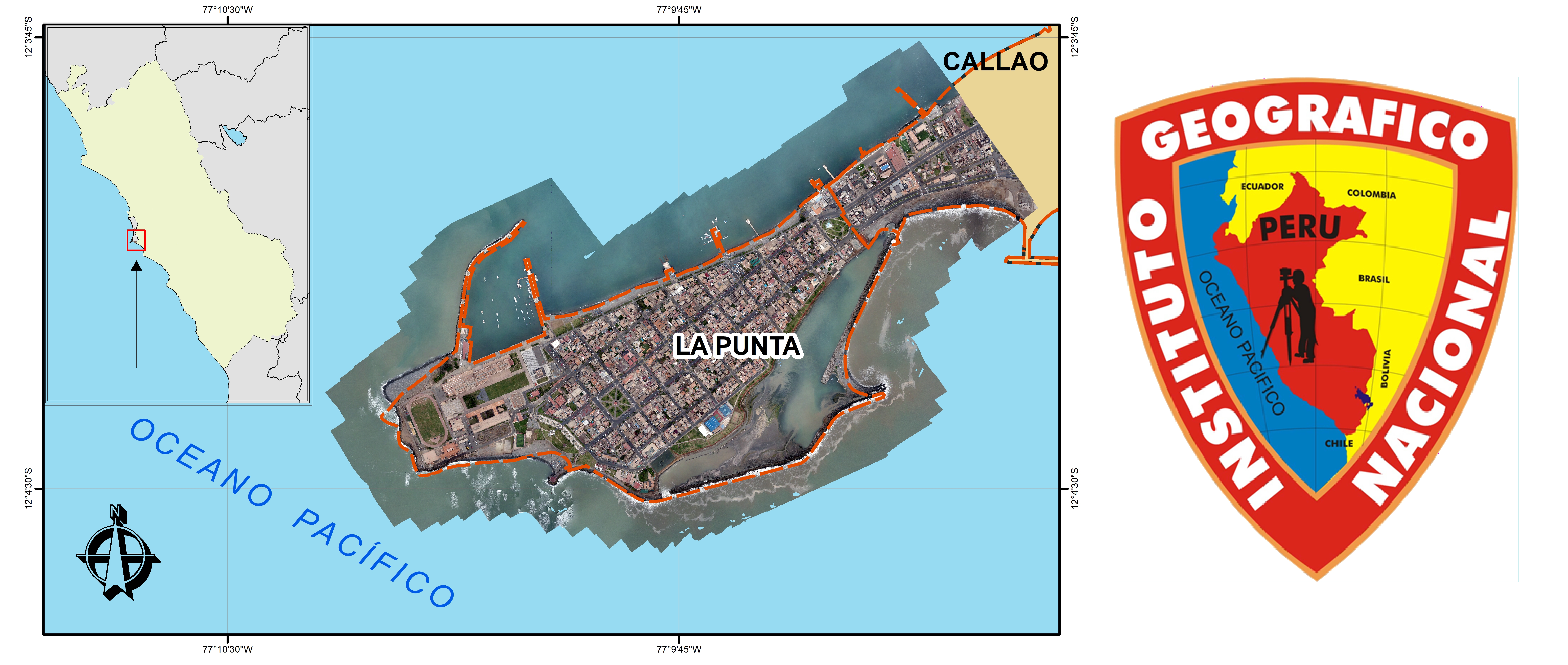
ORTOFOTO LA PUNTA
Aquí encontraremos una Ortofoto del distrito de La Punta, Lima - departamento del Perú, podremos observar al distrito a través de una imagen tomada por drones.
Simple
- Title
- ORTOFOTO LA PUNTA
- Creator
- Instituto Geográfico Nacional
- Subject and Keywords
- ORTOFOTO
- Subject and Keywords
- LA PUNTA
- Subject and Keywords
- RPA
- Subject and Keywords
- DISTRITO
- Description
- Aquí encontraremos una Ortofoto del distrito de La Punta, Lima - departamento del Perú, podremos observar al distrito a través de una imagen tomada por drones.
- Publisher
- Instituto Geográfico Nacional
- Contributor
- Instituto Geográfico Nacional
- Date
- 2021
- Resource Type
- Mapas y Gráficos
- Format
- Web page
- Source
- Instituto Geográfico Nacional
- Language
- spa
- Relation
- Unknown
N
S
E
W
))
- Rights Management
- No restrictions
- Related resource
- https://www.idep.gob.pe/url/FOTOS_METADATOS/orto_la_punta.jpg
- Date Modified
- 2022-04-18T15:24:52
- Resource Identifier
- 59e0a2fc-942f-4ccd-bd37-4b045c083f07
 Catálogo Nacional de Metadatos

