 Catálogo Nacional de Metadatos
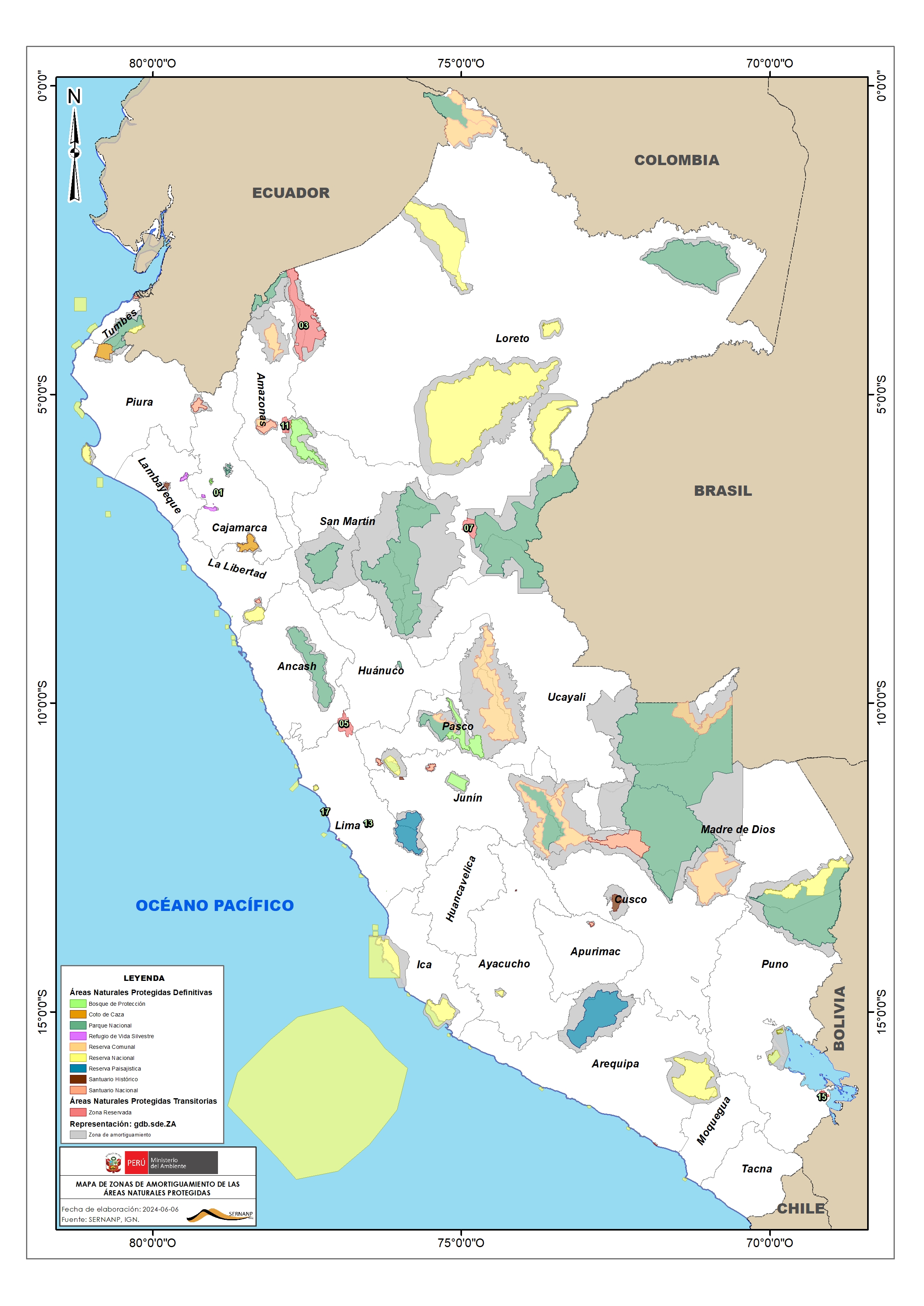
Zonas de Amortiguamiento
Superficie que representa los territorios adyacentes de las Áreas Naturales Protegidas (ANP) de SINANPE con el propósito de minimizar el impacto negativo de las actividades humanas que garantice la conservación dentro del Área Natural Protegida.
Simple
- Date (Publication)
- 2025-01-28T18:00:00
- Presentation form
- Digital map
- Purpose
-
Establecer la cartografía digital que delimitas los territorios adyacentes de las áreas naturales protegidas.
- Status
- Completed
- Point of contact
-
Organisation name Individual name Electronic mail address Role SERNANP
Dirección de Desarrollo Estratégico
Point of contact
- Theme
-
-
za
-
administración nacional
-
zona de amortiguamiento
-
Perú
-
- Spatial representation type
- Vector
- Denominator
- 100000
- Language
- Spanish; Castilian
- Topic category
-
- Environment
- Boundaries
))
- Begin date
- 2025-01-01
- End date
- 2025-12-01
Vertical extent
- Minimum value
- 0
- Maximum value
- 1800
- Supplemental Information
-
Datum WGS84 Proyección Geográfica
- Reference system identifier
- 4326 / WGS 1984
- Topology level
- Geometry only
- Geometric object type
- Surface
- Number of dimensions
- 2
- Dimension name
- Sample
- Dimension size
- 1
- Resolution
- 1 1 meters
- Cell geometry
- Area
- Transformation parameter availability
- Yes
- Distribution format
-
Name Version Esri Shapefile
ArcGIS 10.4.1
- OnLine resource
-
Protocol Linkage Name OGC:WFS
https://geoservicios.sernanp.gob.pe/arcgis/services/gestion_de_anp/peru_sernanp_021401/MapServer/WFSServer?service=WFS&request=GetFeature&typeName=Zonas_de_Amortiguamiento Zonas de Amortiguamiento- WFS
OGC:WMS-1.1.1-http-get-map
https://geoservicios.sernanp.gob.pe/arcgis/services/gestion_de_anp/peru_sernanp_021401/MapServer/WMSServer?SERVICE=WMS&REQUEST=GetMap&FORMAT=image/png&TRANSPARENT=TRUE&STYLES=&VERSION=1.3.0&LAYERS=0&WIDTH=1536&HEIGHT=648&CRS=EPSG:3857&BBOX=-10238610.165710695,-2210919.8461998748,-6481577.35143871,205921.6276788814 Zona de Amortiguamiento-WMS
WWW:DOWNLOAD-1.0-http--download
https://geoservicios.sernanp.gob.pe/arcgis/services/gestion_de_anp/peru_sernanp_021401/MapServer/WFSServer?service=WFS&request=GetFeature&typeName=Zonas_de_Amortiguamiento&outputFormat=SHAPE%2BZIP Zonas de Amortiguamiento- Shapefile
- Hierarchy level
- Dataset
Attributes
- Statement
-
Las Cartas Nacionales a escala 1:100.000 digital constituyen la fuente principal de datos para su creación, cuyo año depende de cada hoja.
Escala de trabajo: 1/100 000
Metadata
- File identifier
- 489f4a1d-fecd-4e9f-9f66-97473c683fdd XML
- Metadata language
- Spanish; Castilian
- Character set
- UTF8
- Date stamp
- 2025-02-20T16:14:17
- Metadata standard name
-
ISO 19115:2003 Información Geográfica - Metadatos / ISO 19139
- Metadata standard version
-
ISO 19115:2003
- Metadata author
-
Organisation name Individual name Electronic mail address Role SERNANP
Blgo. Edgar Vicuña Miñano Responsable de la UOF Gestión de la Información
Custodian SERNANP
Blgo. Genaro Yarupaitan Galvan Responsable de la temática (DDE)
Point of contact